Kathy & Scott’s USA Tour Excursion to Canada
email Scott Turner
home
album
tour
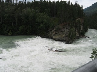
Mt. Robson
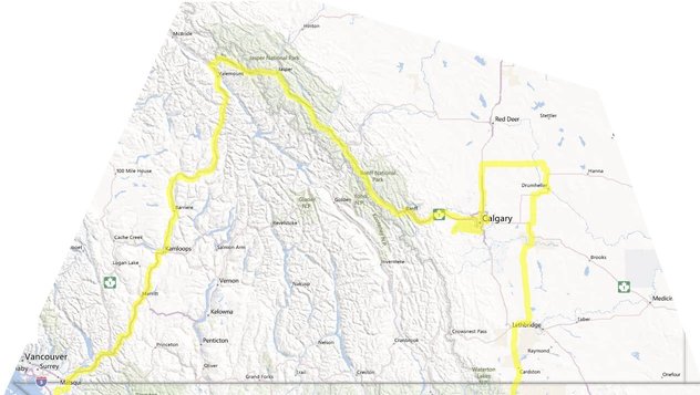
We entered Canada off the beaten track, and at the city of Kamloops, B. C. filled up early with gasoline and groceries for the trek to the North that we had never experienced before. From there, the highway followed the beautifully impressive North Thompson River,
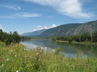
which was the scene of our flat tire.
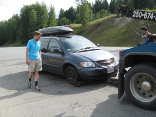
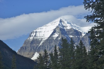
Since it was “British Columbia Day” (August 6th) and we were in the boonies, it took the rest of the day to get the tire replaced, and we spent the night in Clearwater, B.C. in a motel next to the tire shop. The next day we aimed for Mt. Robson Provincial Park, site of the highest peak in the Canadian Rockies, a mountain which has intrigued Scott since the time he was backpacking in Canada 36 years ago. We stopped off in Valemount for groceries. Scott was quite impressed with the way this town is surrounded by mountain ranges. Entering Mt. Robson Provincial Park, the peak was obscured by clouds, but Rearguard Falls was lovely.
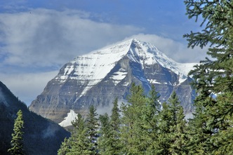
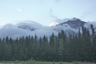
Next we parked by the visitor center, and stood at the base of Mt. Robson’s sheer rise of 10,000 feet. The potential for a view of the mountain was enormous, if the clouds would only relinquish their hold on the summit. In the afternoon, Scott hiked up to Kinney Lake and reached the foot of a small glacier.
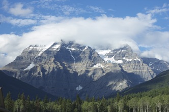
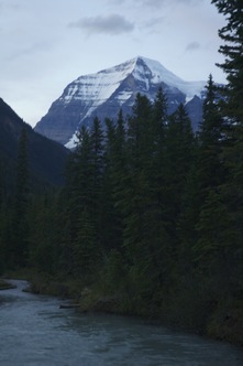
From the bank of the river, just after sunset, we caught our first view of the summit.
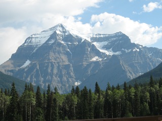
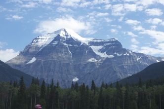
The next morning we hung around the visitor center for a while, admiring Mt. Robson’s 10,000 feet of nearly vertical ascent over the surrounding territory.
Then we hiked together to Overlander Falls, named for a party that passed by the same place in 1863 on their way to recently discovered gold fields. The falls continuously roared and threw up spray.
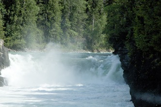
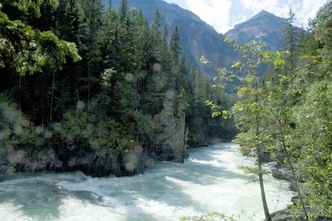
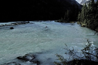
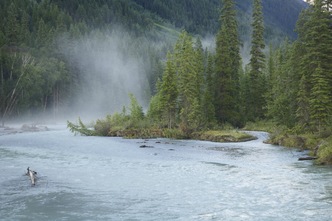
Later, we returned to the river near our camp site, for amazing views of the mountain, and the river’s colors and mists.
The Icefields Parkway
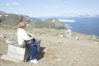
Heading east, we crossed the continental divide into Jasper National Park, where we joined other tourists, and after a lift from the Jasper Tram hiked the rest of the way up Whistler’s Mountain. The views of ice-crowned mountain ranges in all directions were thrilling.
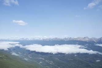
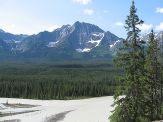
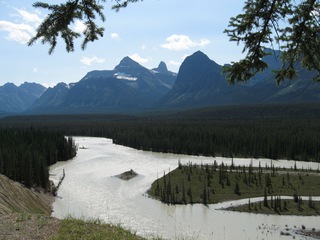
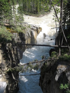
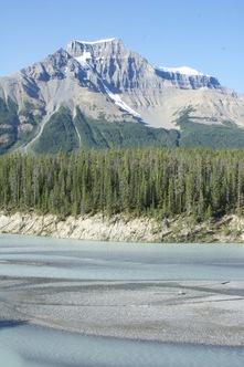
From there, we made our way south on the Icefields Parkway along the Athabasca River, passing by fascinating mountains and powerful waterfalls. Although the weather has been hot without a lot of rain, the waterfalls near Mt. Robson and Jasper were thundering with glacial meltwater that gave a green or milky color to the streams and lakes.
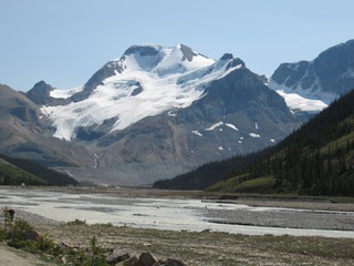
Like hundreds of other tourists that day, we rode a huge-wheeled bus onto the Athabasca Glacier, just down from the Columbia Icefield.
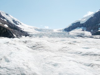
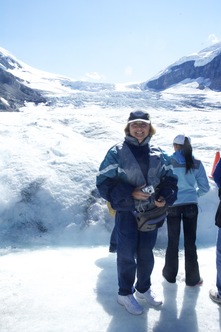
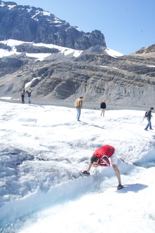
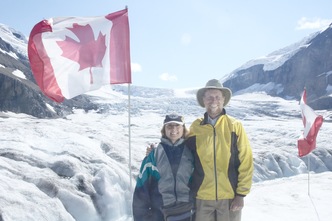
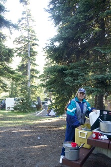
That night we stayed at a beautiful, primitive camp site across the valley from there. By the way, all the campgrounds in this part of our trip have bear boxes for food, and in California the bears will break into cars unless the food and cooler are moved into the box.
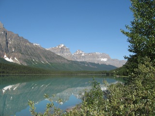
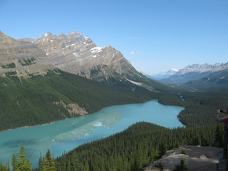
Continuing south, the Icefields Parkway passes through Banff National Park. We stopped at Peyto Lake, which boasts a gorgeous color and a glacier at its west end (not pictured).
Orienteering in Alberta
The weekend of the 11th to 12th was Scott’s chance for orienteering on the road. He entered the competitive events of the Western Canada Orienteering Championships. On the first day, near Calgary, he finished 3rd out of 18 in his age group in a middle distance event, and 8th of 16 in a “sprint”. The next day’s “long” event was on the prairie near Drumheller.
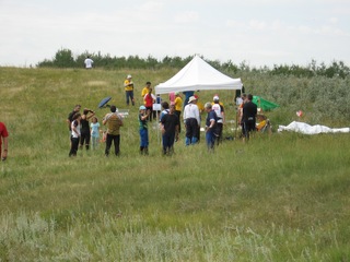
Scott was doing OK for the first half of the course, when he stepped in a grass-covered hole and something in his lower left leg went “pop”. He hobbled to finish, skipping the last half of the control points. There the nurse gave him ice and advice.
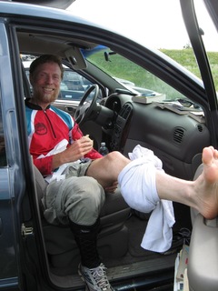
Scott cancelled all hiking plans for August and September and until he could see his regular doctor. Four days later, Scott wrote “There’s been a little improvement, but for the present, limping works.” The next day Scott saw a doctor in Kalispell, to check on whether his leg might need surgery. Thankfully it did not, and the doctor’s advice merely expanded on what the nurse had said at the orienteering event, that it was in the soft tissue and no X-rays were needed. The doctor thought it could be feeling pretty good in a week to a month, but advised that it will heal best if it gets rest rather than ambitious activity.
album
tour
next chapter
