Backpacking 2007
email Scott Turner
home
album index
The following photos are by Phil, the designated chronicler of the hike.
Garfield
The first day's hike ascended about 3,000 feet to the Appalachian Mountain Club's (AMC's) Garfield Ridge Campsite. We left off one car at the south end of the mountains, and Kathy shuttled us to the north end. We began the hike at noon.

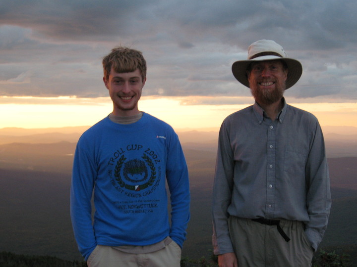
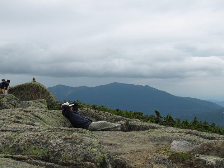
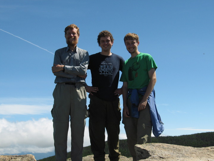
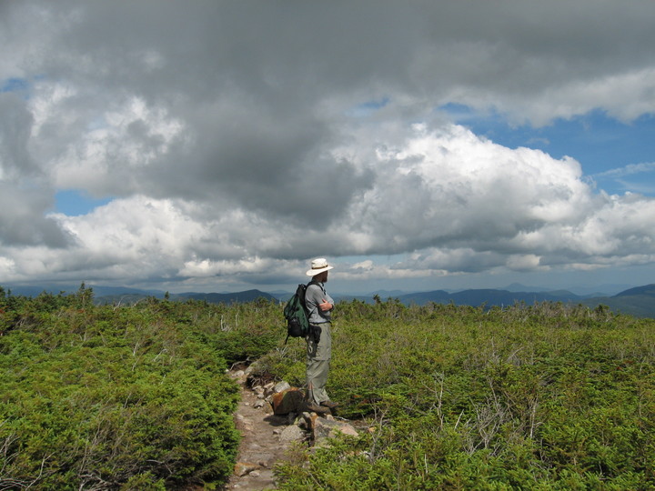
Scott after the first day's hike
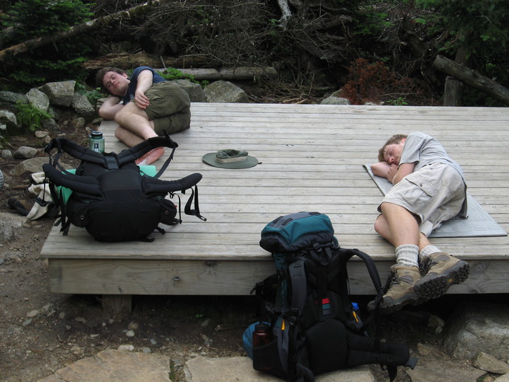
Kevin & Phil after the first day's hike
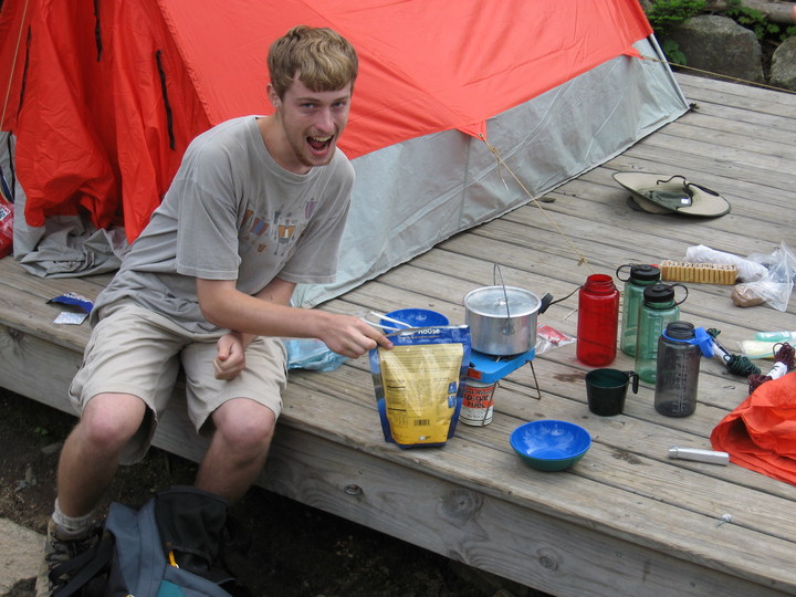
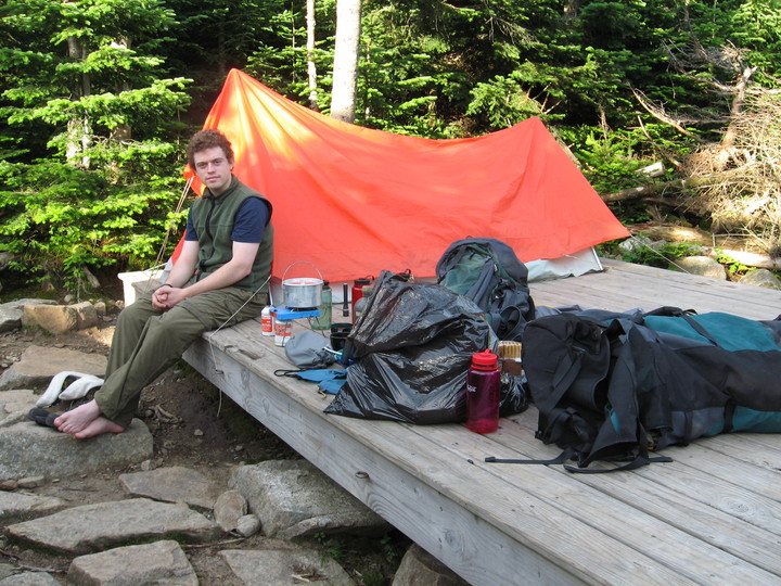
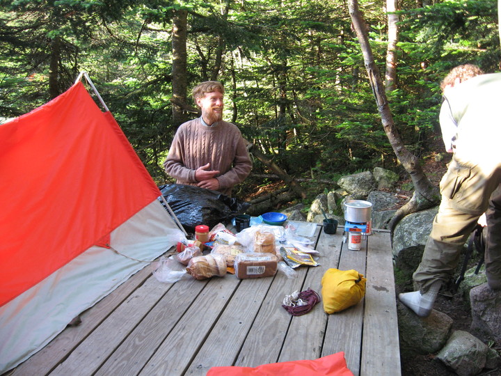
Phil preparing supper
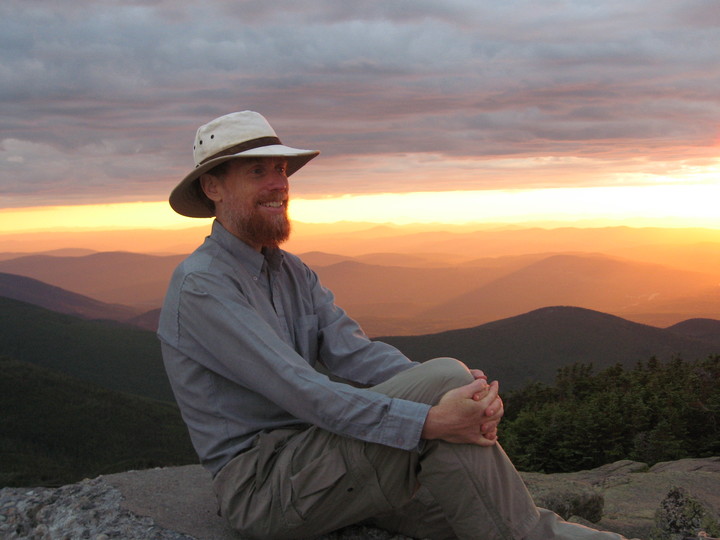
At sunset, Scott and Phil went up to the nearby summit of Mt. Garfield.
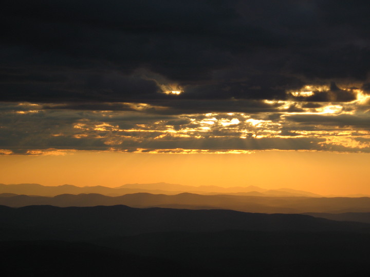
sunset from Garfield with Vermont mountain range
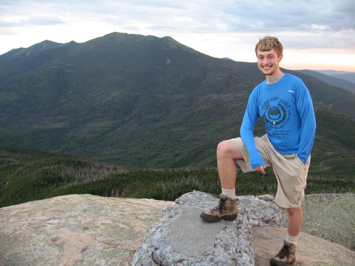
Phil on Garfield with Lafayette in background
Phil & Scott on Garfield with sunset
Scott with sunset
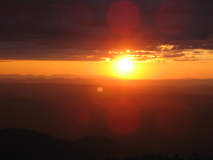
sunset
The next morning, Scott and Kevin got up at 5:15 for the sunrise at the summit.

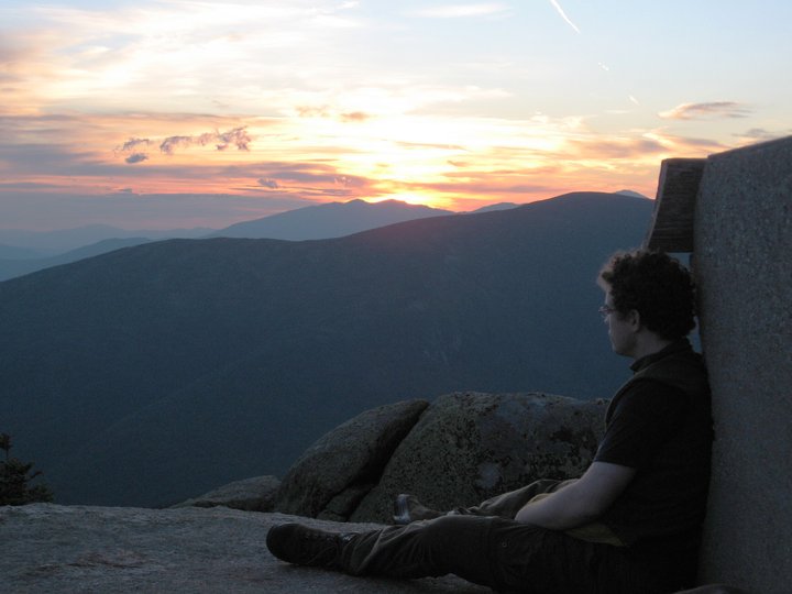
Scott before sunrise
Kevin at sunrise
Four through hikers on their way to Maine spent the night in the foundation of an old fire tower on the summit. They did not get up for the sunrise.
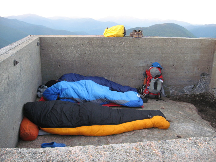
thru hikers
We packed up and had breakfast.
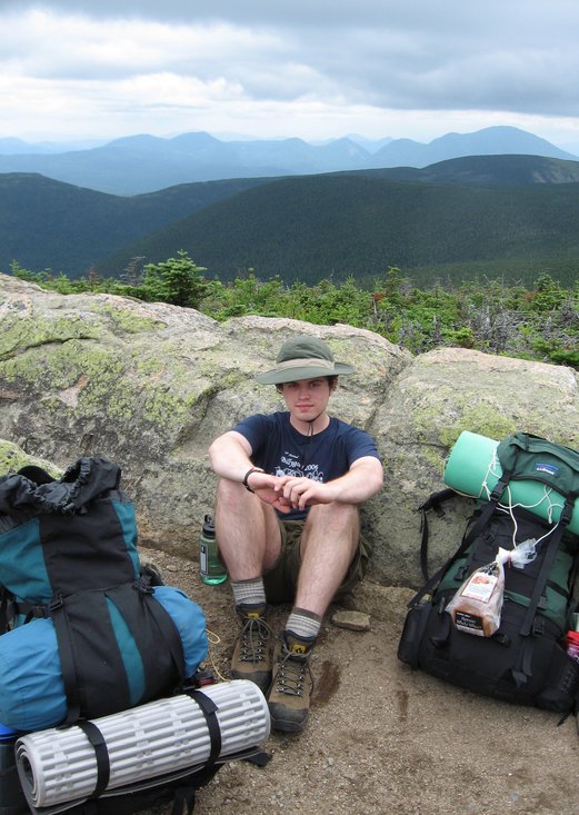
Kevin during 2nd day's breakfast
The Rough Traverse
The next day we considered doing a day hike to Mt. Lafayette, but decided instead to take our full packs to the AMC Guyot Campsite, 6.6 rough miles away.
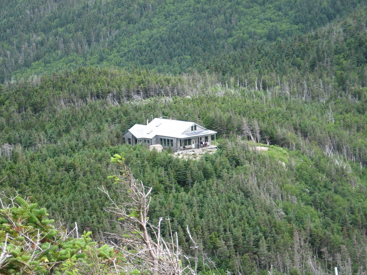
Leaving our packs at Galehead hut, Phil and Scott made the short hike to
the summit of Mt. Gale, adding another 4000-footer to our lists.
The summit was wooded, but an overlook along the way had good views, including
the hut.
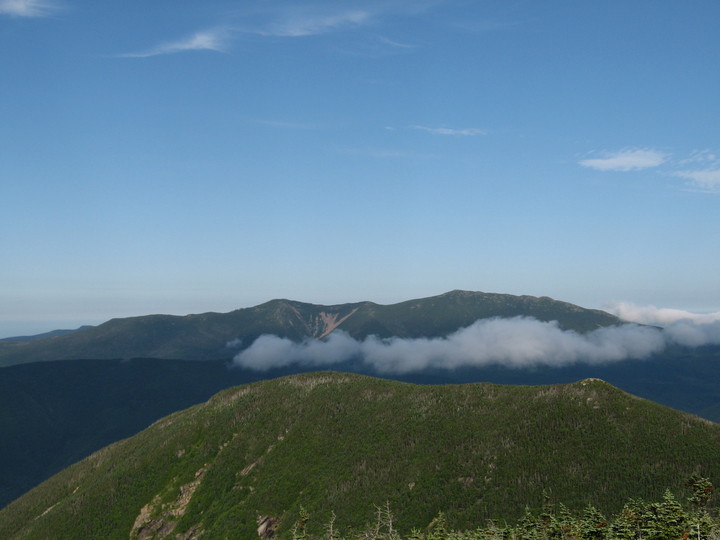
When we reached the summit of South Twin, it was time for a rest.


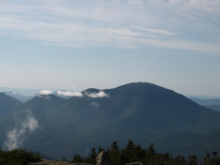
Mt. Carrigain
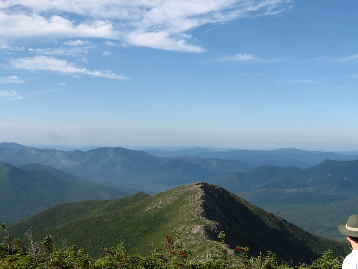
Scott on South Twin, and Lafayette
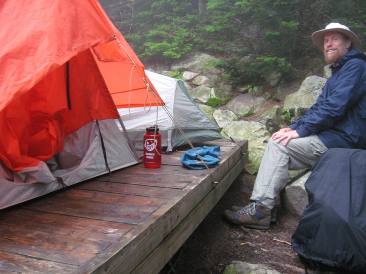
At the campsite, we had to squeeze both tents onto a smaller platform.
The Easy Day
The next day was Scott's 59th birthday. We planned to do some easy hiking rather than lug our packs to a new campsite. Just one mile away was West Bond, reputed to have excellent views. Another 4000 footer, Zealand Mountain, was a couple of relatively flat miles away.

looking to South Twin from West Bond
Pemigewassett valley from West Bond
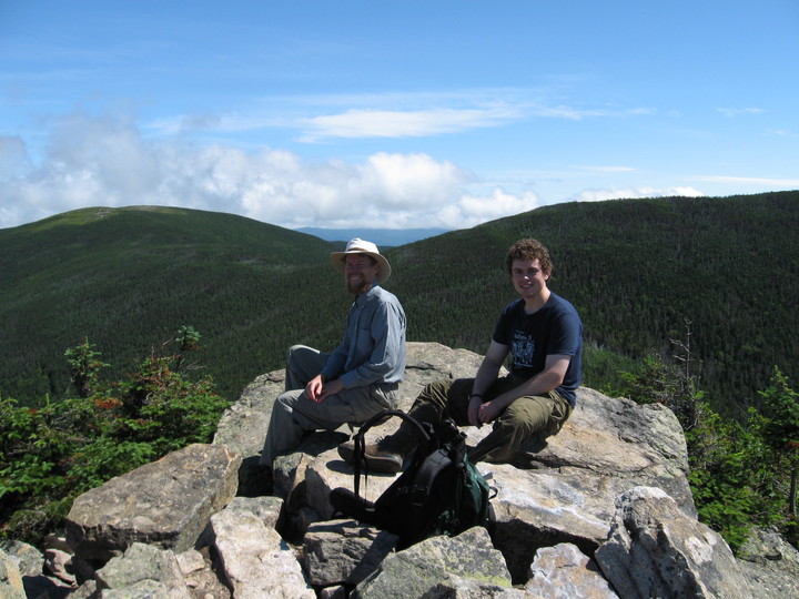
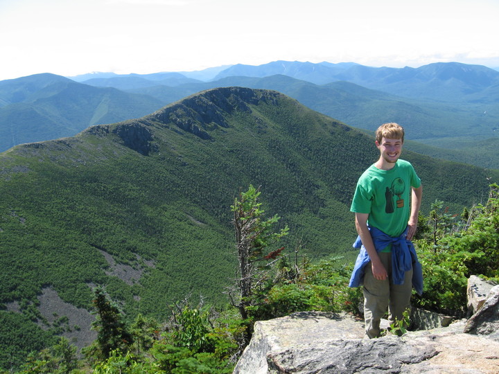
Scott & Kevin on West Bond summit
the three
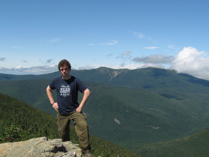
Phil with Bondcliff
Kevin with Lafayette
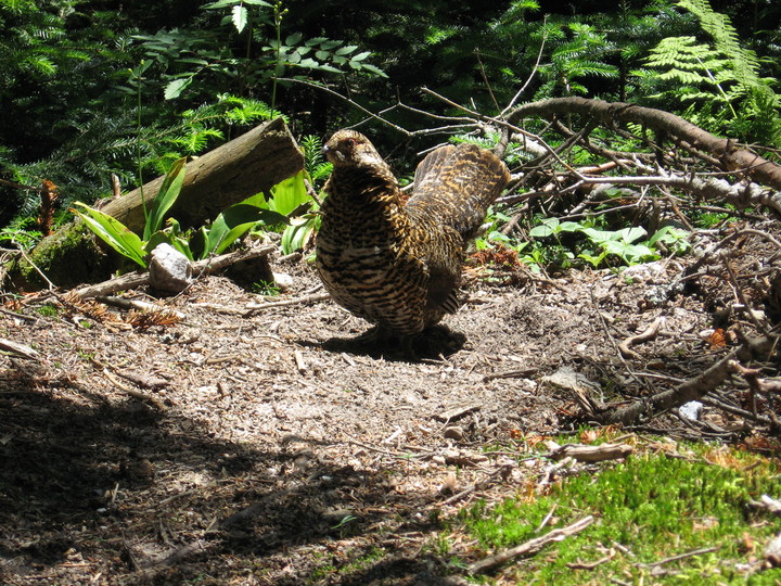
On the way back to the campsite from West Bond, a grouse and its chicks put on a show for us.
Phil and Scott only made it part of the way to Zealand, reaching Mt. Guyot.

alpine rock garden
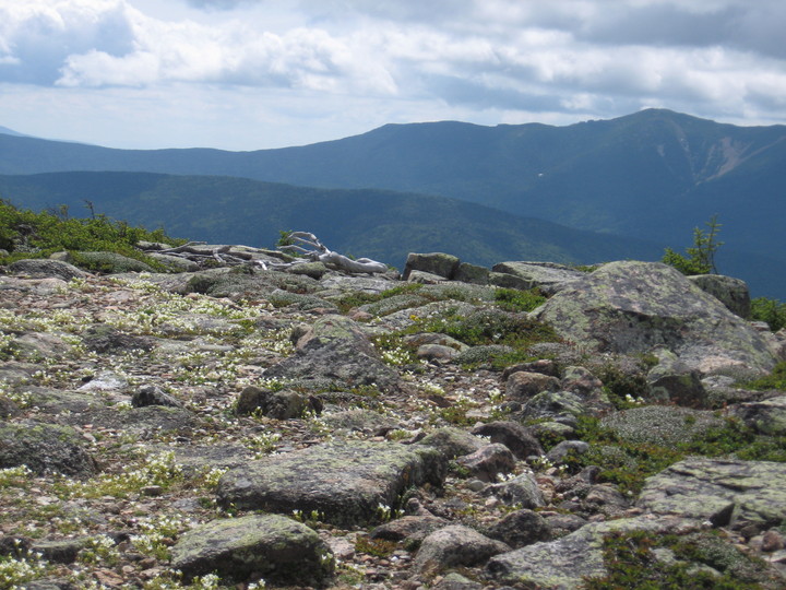
ditto
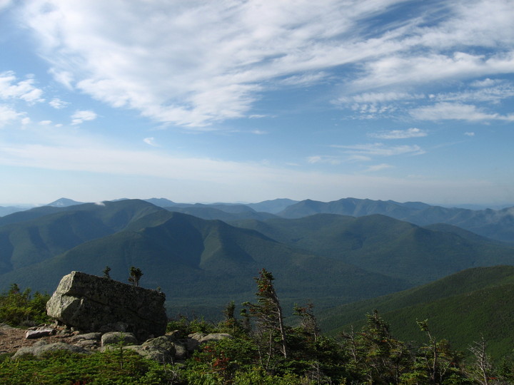
Lafayette & Garfield
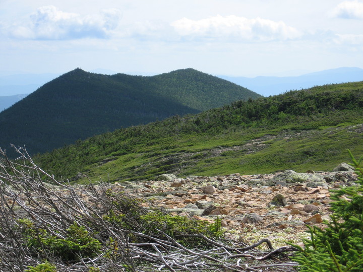
Mt. Bond from Guyot
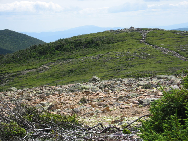
trail from Guyot
Mt. Guyot is so rounded that it's hard to find the summit. We wandered for 5 minutes just to make sure we reached the real top.

The alpine trail from Guyot leads down into the woods.
Mt. Bond
packing up for the last day
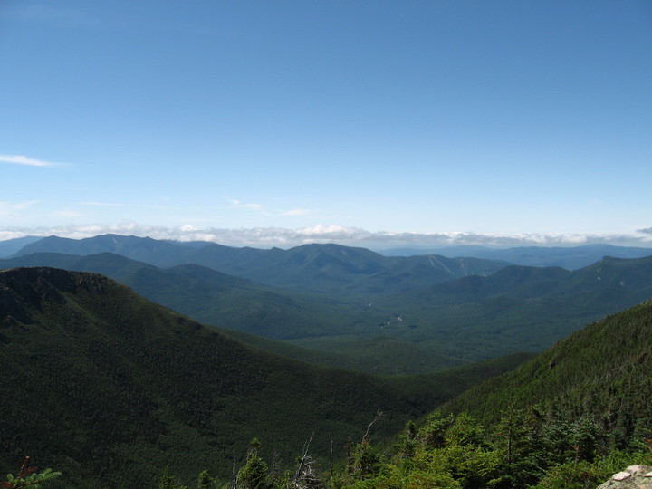
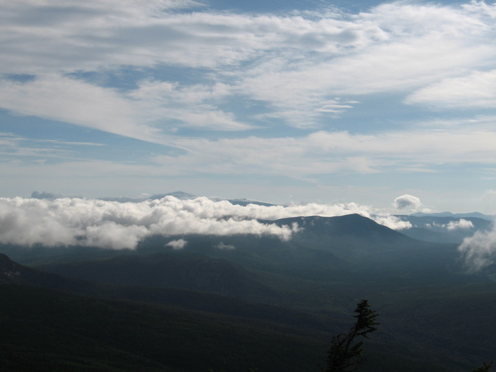
The last day's hike was 11 miles over Mt. Bond and Bondcliff. We didn't know where the good views would be. We traversed a long, flat ridge of Bond, all wooded with no views, not knowing where the summit was. But when we reached the summit we let out a whoop and then were speechless for 5 minutes at the awewsome views and beautiful weather.
Bondcliff Trail from above

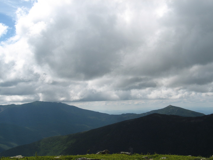
clouds over Presidentials
looking south from Bond
Carrigain with mists
Lafayette over West Bond; Owl's Head in the middle
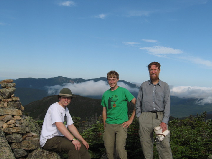
the three on Bond
Mt. Washington peeks over the clouds
Then we hiked down the open ridge and up to Bondcliff.
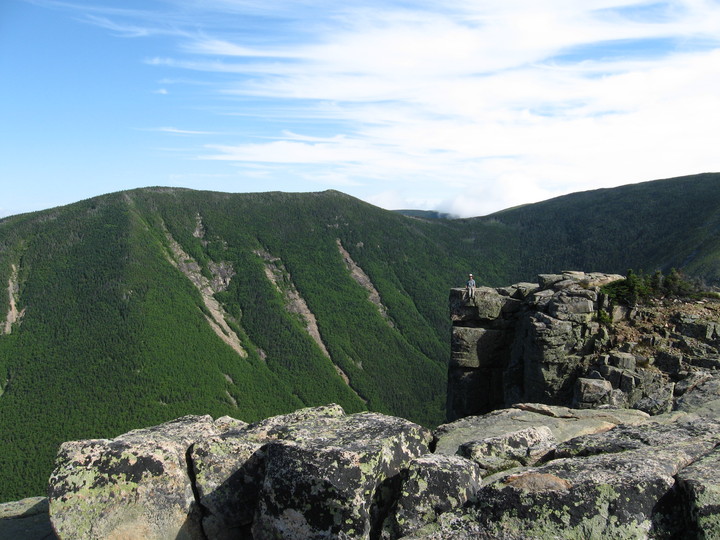
West Bond from Bondcliff, with Scott sitting on the cliff

Phil
Exit from the Mountains
From Bondcliff, it's a long downhill to the Pemigewasset River, and then a long flat to the parking lot.
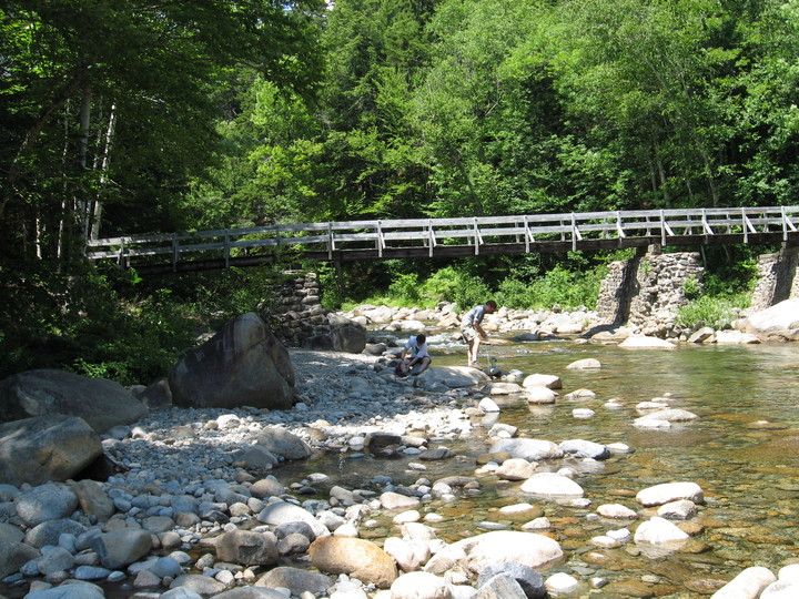
pumping water at Franconia Brook
Scott & Kevin on bank of Franconia Brook
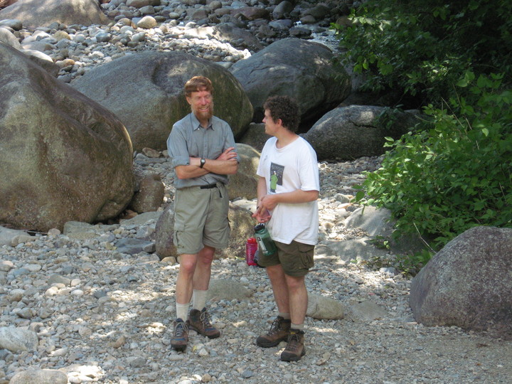
Phil
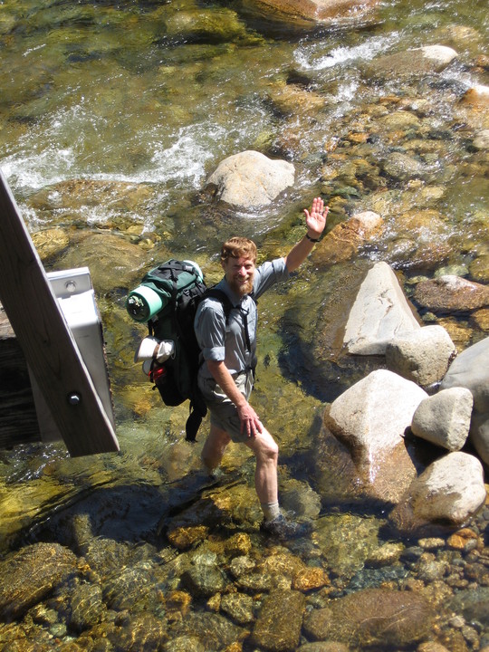
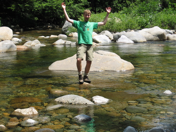
Scott in Pemigewasset River
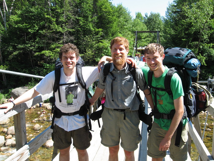
the three, near the end
album index
next chapter